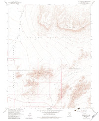
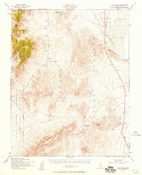
1961 Map of Striped Hills
USGS Topo · Published 1983About this map
The Nevada Test Site dominates the northern reaches of this map, reflecting a period of intense Cold War scientific activity and federal oversight. This 1961 field-checked survey, produced in cooperation with the Atomic Energy Commission, details a stark desert landscape where infrastructure is sparse but critical. A Weather Station sits near the Topopah Wash, while Spring Cane Road provides the primary transit route through the Amargosa Desert. The terrain is defined by the elevation changes of Little Skull Mountain and the distinctively named Striped Hills, which overlook Rock Valley. These topographic features served as the backdrop for mid-century nuclear testing and support operations, making this sheet a significant record of the region's unique military and geodetic history.
Find a feature on this map
14 named features on this map. Tap any name to fly to it.
Don’t see what you’re looking for? This feature index may not catch every label — zoom into the map to look around manually.
Map Details
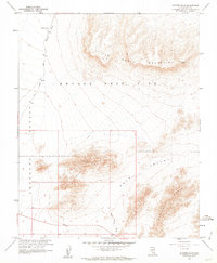
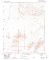
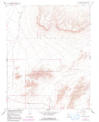
Editions of this 1961 Striped Hills Map
4 editions found
Other maps of this area

1908 · Furnace Creek
USGS Topo · 1:250,000

1910 · Furnace Creek
USGS Topo · 1:250,000

1942 · Skull Mountain
USGS Topo · 1:125,000

1948 · Death Valley
USGS Topo · 1:250,000

1952 · Topopah Spring
USGS Topo · 1:62,500

1952 · Specter Range
USGS Topo · 1:62,500
1952 · Cane Spring
USGS Topo · 1:62,500

1954 · Death Valley
USGS Topo · 1:250,000

1956 · Death Valley
USGS Topo · 1:250,000

1957 · Death Valley
USGS Topo · 1:250,000