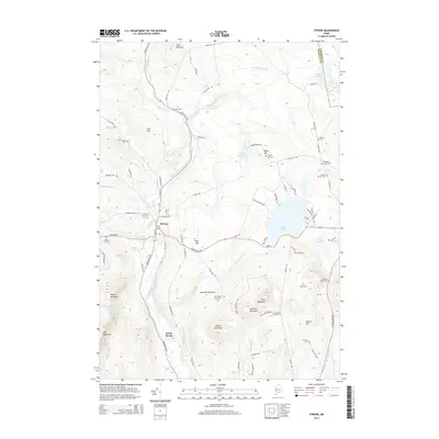
2014 Map of Strong
USGS Topo · Published 2014About this map
Strong and South Strong anchor this portion of the Maine highlands, where the Sandy River cuts a deep valley through a landscape defined by significant elevations like Day Mountain and Pratt Mountain. The terrain is characterized by a dense network of family-named landmarks and rural burial grounds, including the Strong Town Cemetery and the more remote Cunningham-Cates Cemetery. These features reflect a long history of upland farming and settlement in the river intervals.
Find a feature on this map
93 named features on this map. Tap any name to fly to it.
Don’t see what you’re looking for? This feature index may not catch every label — zoom into the map to look around manually.
Map Details
Editions of this 2014 Strong Map
This is the sole edition of this map. No revisions or reprints were ever made.
Other maps of this area

1924 · Farmington
USGS Topo · 1:62,500

1926 · Dixfield
USGS Topo · 1:62,500

1929 · Phillips
USGS Topo · 1:48,000

1929 · Dixfield
USGS Topo · 1:62,500

1930 · Kingfield
USGS Topo · 1:48,000

1932 · Phillips
USGS Topo · 1:62,500

1932 · Kingfield
USGS Topo · 1:62,500

1950 · Lewiston
USGS Topo · 1:250,000

1956 · Dixfield
USGS Topo · 1:48,000

1956 · Farmington
USGS Topo · 1:62,500