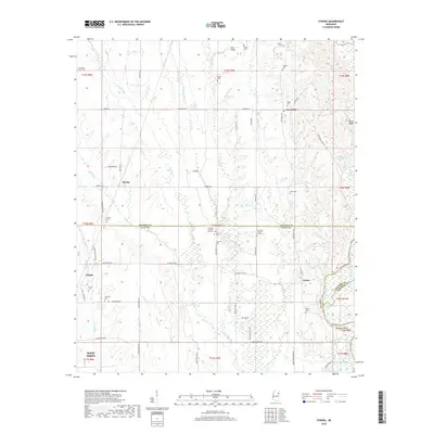
2018 Map of Strong
USGS Topo · Published 2018About this map
The Tombigbee River forms the southeastern edge of this landscape, a region defined by the intersection of three counties. Centered on the rural community of Strong, the area is characterized by numerous small tributaries such as Hang Kettle Cr and Spring Cr that feed into the larger river basin. The map reveals a dense network of family and community landmarks, particularly evident in the concentration of burial sites like Strong Cem, Concord Number One Cem, and Vinton Cem.
Find a feature on this map
77 named features on this map. Tap any name to fly to it.
Don’t see what you’re looking for? This feature index may not catch every label — zoom into the map to look around manually.
Map Details
Editions of this 2018 Strong Map
This is the sole edition of this map. No revisions or reprints were ever made.
Other maps of this area

1953 · West Point
USGS Topo · 1:250,000

1958 · West Point
USGS Topo · 1:250,000

1959 · West Point
USGS Topo · 1:62,500

1960 · Caledonia
USGS Topo · 1:62,500

1963 · West Point
USGS Topo · 1:250,000

1966 · Aberdeen
USGS Topo · 1:24,000

1966 · Amory SW
USGS Topo · 1:24,000

1966 · Prairie
USGS Topo · 1:24,000

1982 · West Point
USGS Topo · 1:100,000

1984 · West Point
USGS Topo · 1:250,000