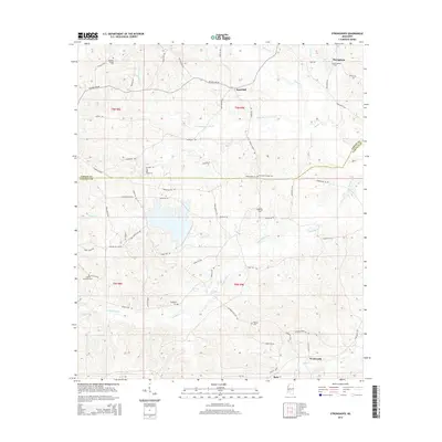
2015 Map of Stronghope
USGS Topo · Published 2015About this map
Stronghope and Woolworth anchor this rural landscape in the piney woods of southern Mississippi, where the boundary of Copiah and Lincoln Counties divides the terrain. The area is defined by its intricate drainage network, with the headwaters of Bahala Creek and Little Bahala Creek carving subtle valleys through the hills. This 2015 survey reveals a pattern of dispersed settlement connected by an extensive system of named local roads such as Beauregard Road and Timberlane Road, which link isolated homesteads and small communities.
Find a feature on this map
70 named features on this map. Tap any name to fly to it.
Don’t see what you’re looking for? This feature index may not catch every label — zoom into the map to look around manually.
Map Details
Editions of this 2015 Stronghope Map
This is the sole edition of this map. No revisions or reprints were ever made.
Other maps of this area

1953 · Natchez
USGS Topo · 1:250,000

1956 · Natchez
USGS Topo · 1:250,000

1959 · Natchez
USGS Topo · 1:250,000

1963 · Hazlehurst
USGS Topo · 1:24,000

1963 · Shady Grove
USGS Topo · 1:24,000

1970 · Nola
USGS Topo · 1:24,000

1971 · Oma
USGS Topo · 1:24,000
1971 · Georgetown
USGS Topo · 1:24,000

1972 · Fair Oak Springs
USGS Topo · 1:24,000
1972 · Stronghope
USGS Topo · 1:24,000