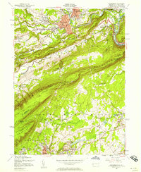
1955 Map of Stroudsburg
USGS Topo · Published 1957About this map
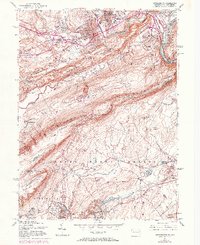
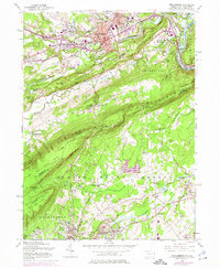
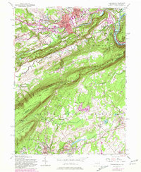
Stroudsburg and East Stroudsburg serve as the urban anchor for this mid-century survey, a landscape where the industrial heritage of slate quarrying meets the growing academic presence of the State Teachers College. The Delaware River carves through the dramatic geology of the Kittatinny Mountain, creating the Delaware Water Gap and serving as a boundary between Pennsylvania and New Jersey. Transportation corridors define the area's development, with the Delaware Lackawanna and Western RR following the riverbanks while the Appalachian Trail traces the ridgelines above. To the south, the map captures the dense cluster of communities like Roseto and Pen Argyl, where numerous Slate Quarry (Inactive) locations and gravel pits signal the region's historic extractive economy. Institutional landmarks, including the Courthouse and several parochial schools like St Matthew Sch, illustrate the established civic fabric of these Monroe County boroughs.
Find a feature on this map
77 named features on this map. Tap any name to fly to it.
Don’t see what you’re looking for? This feature index may not catch every label — zoom into the map to look around manually.
Map Details
Editions of this 1955 Stroudsburg Map
7 editions found
Other maps of this area

1891 · Delaware Water Gap
USGS Topo · 1:62,500

1893 · Delaware Water Gap
USGS Topo · 1:62,500

1914 · Wind Gap
USGS Topo · 1:62,500

1916 · Wind Gap
USGS Topo · 1:62,500

1919 · Pocono
USGS Topo · 1:62,500

1921 · Pocono
USGS Topo · 1:62,500

1923 · Pocono
USGS Topo · 1:62,500

1924 · Bushkill
USGS Topo · 1:48,000

1936 · Delaware Water Gap
USGS Topo · 1:48,000

1941 · Delaware Water Gap
USGS Topo · 1:62,500