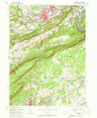
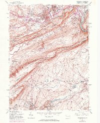
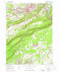
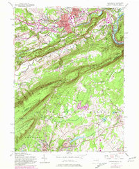
1955 Map of Stroudsburg
USGS Topo · Published 1973About this map
The urban centers of Stroudsburg and East Stroudsburg are the primary focus of this mid-century topographic survey, where they straddle the banks of Brodhead Creek. The landscape transition is dramatic, moving from the developed valley floor and the campus of the State Teachers College to the steep, wooded slopes of Godfrey Ridge and Kittatinny Mountain. Along the eastern edge, the Delaware River cuts through the ridges near Minisink Hills, a crucial geological gap that has long shaped regional transport.
Find a feature on this map
82 named features on this map. Tap any name to fly to it.
Don’t see what you’re looking for? This feature index may not catch every label — zoom into the map to look around manually.
Map Details
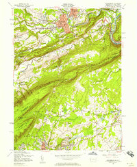
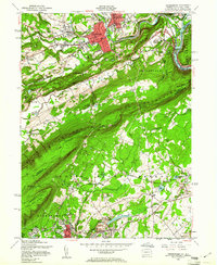
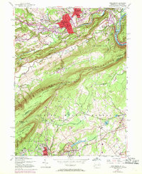
Editions of this 1955 Stroudsburg Map
7 editions found
Other maps of this area

1891 · Delaware Water Gap
USGS Topo · 1:62,500

1893 · Delaware Water Gap
USGS Topo · 1:62,500

1914 · Wind Gap
USGS Topo · 1:62,500

1916 · Wind Gap
USGS Topo · 1:62,500

1919 · Pocono
USGS Topo · 1:62,500

1921 · Pocono
USGS Topo · 1:62,500

1923 · Pocono
USGS Topo · 1:62,500

1924 · Bushkill
USGS Topo · 1:48,000

1936 · Delaware Water Gap
USGS Topo · 1:48,000

1941 · Delaware Water Gap
USGS Topo · 1:62,500