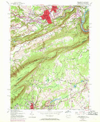
1955 Map of Stroudsburg
USGS Topo · Published 1970About this map
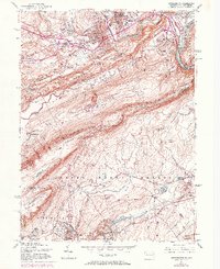
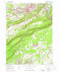
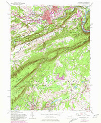
The twin boroughs of Stroudsburg and East Stroudsburg form a bustling educational and civic hub in the mid-1950s, anchored by the State Teachers College and the local Courthouse. The urban landscape is defined by the confluence of Brodhead Creek, McMichael Creek, and Pocono Creek, with early 20th-century expansion visible in neighborhoods like Arlington Heights. To the south, the dramatic ridge of Kittatinny Mountain separates the Delaware Water Gap area from the industrial and quarrying districts of Northampton County. The Erie Lackawanna railroad and the Lehigh and New England lines serve the lower towns of Bangor and Roseto, where numerous quarries indicate the region's historical slate industry. This landscape captures a transitional period before the massive development of the Poconos, showing the established Appalachian Trail following the mountain crest above Poplar Valley.
Find a feature on this map
92 named features on this map. Tap any name to fly to it.
Don’t see what you’re looking for? This feature index may not catch every label — zoom into the map to look around manually.
Map Details
Editions of this 1955 Stroudsburg Map
7 editions found
Other maps of this area

1891 · Delaware Water Gap
USGS Topo · 1:62,500

1893 · Delaware Water Gap
USGS Topo · 1:62,500

1914 · Wind Gap
USGS Topo · 1:62,500

1916 · Wind Gap
USGS Topo · 1:62,500

1919 · Pocono
USGS Topo · 1:62,500

1921 · Pocono
USGS Topo · 1:62,500

1923 · Pocono
USGS Topo · 1:62,500

1924 · Bushkill
USGS Topo · 1:48,000

1936 · Delaware Water Gap
USGS Topo · 1:48,000

1941 · Delaware Water Gap
USGS Topo · 1:62,500