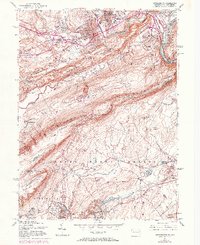
1955 Map of Stroudsburg
USGS Topo · Published 1973About this map
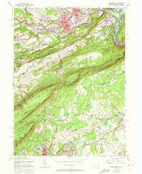
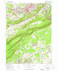
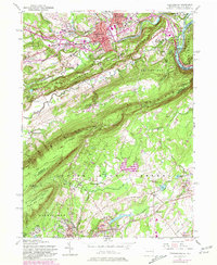
The borough of Stroudsburg serves as the focal point of this mid-century survey, showing the established grid of the county seat alongside the State Teachers College and the Courthouse. The landscape is dominated by the dramatic cut of the Delaware Water Gap and the rising ridges of Kittatinny Mountain. To the south, the industrial character of the region is evident in the quarry operations surrounding North Bangor and Bangor, connected by the Erie-Lackawanna and the Lehigh and New England Railroad.
Find a feature on this map
84 named features on this map. Tap any name to fly to it.
Don’t see what you’re looking for? This feature index may not catch every label — zoom into the map to look around manually.
Map Details
Editions of this 1955 Stroudsburg Map
7 editions found
Other maps of this area

1891 · Delaware Water Gap
USGS Topo · 1:62,500

1893 · Delaware Water Gap
USGS Topo · 1:62,500

1914 · Wind Gap
USGS Topo · 1:62,500

1916 · Wind Gap
USGS Topo · 1:62,500

1919 · Pocono
USGS Topo · 1:62,500

1921 · Pocono
USGS Topo · 1:62,500

1923 · Pocono
USGS Topo · 1:62,500

1924 · Bushkill
USGS Topo · 1:48,000

1936 · Delaware Water Gap
USGS Topo · 1:48,000

1941 · Delaware Water Gap
USGS Topo · 1:62,500