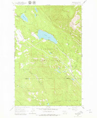
1963 Map of Stryker
USGS Topo · Published 1979About this map
The Great Northern railroad corridor serves as the primary artery through this section of the Rocky Mountains, following the low-lying valleys of Dickey Creek and Summit Creek. Small mountain settlements like Trego, Stryker, and Ant Flat dot the rail line, reflecting the early 1960s economy driven by timber and transit. Much of the land is managed as part of the Kootenai National Forest and Stillwater State Forest, which includes the Murphy Lake Ranger Sta.
Find a feature on this map
36 named features on this map. Tap any name to fly to it.
Don’t see what you’re looking for? This feature index may not catch every label — zoom into the map to look around manually.
Map Details
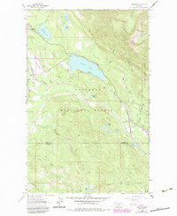
Editions of this 1963 Stryker Map
3 editions found
Other maps of this area

1913 · Stryker
USGS Topo · 1:125,000

1916 · Stryker
USGS Topo · 1:125,000

1957 · Kalispell
USGS Topo · 1:250,000

1960 · Kalispell
USGS Topo · 1:250,000

1961 · Kalispell
USGS Topo · 1:250,000

1963 · Mount Marston
USGS Topo · 1:24,000

1963 · Stryker
USGS Topo · 1:24,000
1963 · Skillet Mountain
USGS Topo · 1:24,000

1963 · Sunday Mountain
USGS Topo · 1:24,000
1963 · Edna Mountain
USGS Topo · 1:24,000