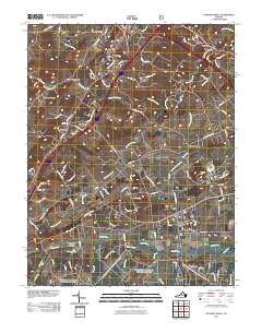
2011 Map of Stuarts Draft
USGS Topo · Published 2011About this map
Stuarts Draft and its surrounding countryside are defined by a complex network of waterways feeding into the South River, illustrating the agricultural and residential development of this Augusta County region. The landscape is marked by historic settlement clusters such as Barterbrook, White Hill, and Folly Mills, often located near the winding courses of Christians Creek and Folly Mills Creek. The terrain transitions from the heights of Chestnut Ridge in the west toward the basin where the South River Number Seven Dam manages local water resources near Lake Wilda.
Find a feature on this map
106 named features on this map. Tap any name to fly to it.
Don’t see what you’re looking for? This feature index may not catch every label — zoom into the map to look around manually.
Map Details
Editions of this 2011 Stuarts Draft Map
This is the sole edition of this map. No revisions or reprints were ever made.
Other maps of this area

1892 · Buckingham
USGS Topo · 1:125,000

1892 · Harrisonburg
USGS Topo · 1:125,000

1894 · Staunton
USGS Topo · 1:125,000

1894 · Lexington
USGS Topo · 1:125,000

1934 · Waynesboro
USGS Topo · 1:48,000

1936 · Vesuvius
USGS Topo · 1:48,000

1939 · Waynesboro
USGS Topo · 1:62,500

1941 · Vesuvius
USGS Topo · 1:62,500

1943 · Lovingston
USGS Topo · 1:62,500

1944 · Staunton
USGS Topo · 1:62,500