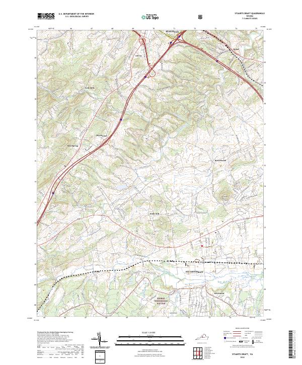
2022 Map of Stuarts Draft
USGS Topo · Published 2022About this map
The Stuarts Draft and southern Staunton area is characterized by a mix of agricultural valley lands and the rising foothills of the Blue Ridge. The southern portion of the map is dominated by the South River corridor, where the community of Rivermont sits near the edge of the George Washington Nat For. This landscape shows a distinct transition from the forested mountain slopes to the developed plains where CSX Transportation rail lines and major interstates intersect.
Find a feature on this map
161 named features on this map. Tap any name to fly to it.
Don’t see what you’re looking for? This feature index may not catch every label — zoom into the map to look around manually.
Map Details
Editions of this 2022 Stuarts Draft Map
This is the sole edition of this map. No revisions or reprints were ever made.
Other maps of this area

1892 · Buckingham
USGS Topo · 1:125,000

1892 · Harrisonburg
USGS Topo · 1:125,000

1894 · Staunton
USGS Topo · 1:125,000

1894 · Lexington
USGS Topo · 1:125,000

1934 · Waynesboro
USGS Topo · 1:48,000

1936 · Vesuvius
USGS Topo · 1:48,000

1939 · Waynesboro
USGS Topo · 1:62,500

1941 · Vesuvius
USGS Topo · 1:62,500

1943 · Lovingston
USGS Topo · 1:62,500

1944 · Staunton
USGS Topo · 1:62,500