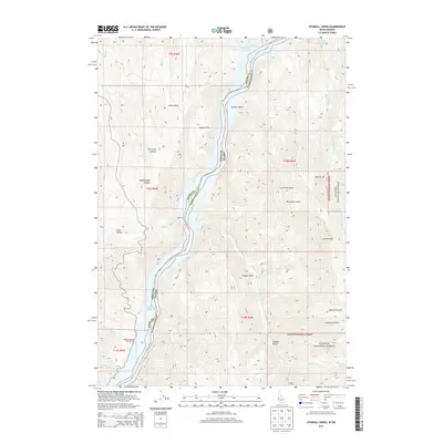
2013 Map of Sturgill Creek
USGS Topo · Published 2013About this map
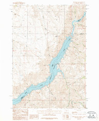
Brownlee Reservoir dominates the center of this landscape, marking the winding border between Baker County, Oregon, and Washington County, Idaho. The water follows the original course of the Snake River, flanked by steep drainages like Ruth Gulch and Jackson Gulch to the north, and Garden Gulch to the south. Historically significant crossing points and access sites appear along the banks, including the Cable Ferry and the Swede's Landing Boat Launch near the mouth of Quicksand Cr.
Find a feature on this map
34 named features on this map. Tap any name to fly to it.
Don’t see what you’re looking for? This feature index may not catch every label — zoom into the map to look around manually.
Map Details
Editions of this 2013 Sturgill Creek Map
This is the sole edition of this map. No revisions or reprints were ever made.
Other maps of this area
1915 · Pine
USGS Topo · 1:125,000

1955 · Baker
USGS Topo · 1:250,000
1957 · Halfway
USGS Topo · 1:62,500
1957 · Copperfield
USGS Topo · 1:62,500
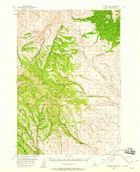
1957 · Sturgill Peak
USGS Topo · 1:62,500
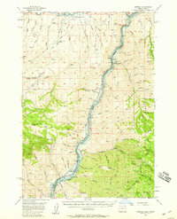
1957 · Mineral
USGS Topo · 1:62,500

1959 · Baker
USGS Topo · 1:250,000
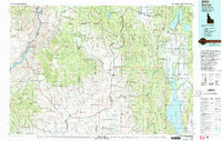
1980 · McCall
USGS Topo · 1:100,000
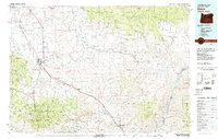
1981 · Baker
USGS Topo · 1:100,000
1987 · Brownlee Dam
USGS Topo · 1:24,000