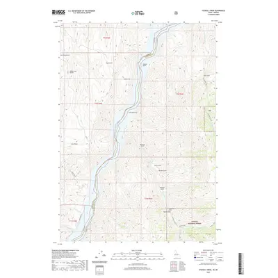
2020 Map of Sturgill Creek
USGS Topo · Published 2020About this map
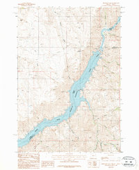
Brownlee Reservoir dominates the central corridor of this map, marking the state boundary where Oregon and Idaho meet. The landscape is defined by the steep, dissected terrain of the Snake River canyon, where numerous drainages like Sturgill Cr, Lick Cr, and Skookum Chuck Cr flow toward the reservoir. On the Idaho side, the land rises into the Payette National Forest, characterized by high-elevation features such as Coyote Flat and Deer Gulch. This modern survey illustrates the remote character of the borderlands, where the primary access is provided by Snake River Rd and the high-mountain track of Nat For Dev Rd 272. Named landmarks like Andrew Spring and Lone Pine Gulch offer specific points of reference for those studying the hydrology and topography of the Hells Canyon region.
Find a feature on this map
37 named features on this map. Tap any name to fly to it.
Don’t see what you’re looking for? This feature index may not catch every label — zoom into the map to look around manually.
Map Details
Editions of this 2020 Sturgill Creek Map
This is the sole edition of this map. No revisions or reprints were ever made.
Other maps of this area
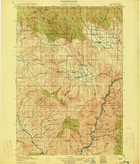
1915 · Pine
USGS Topo · 1:125,000

1955 · Baker
USGS Topo · 1:250,000
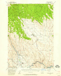
1957 · Halfway
USGS Topo · 1:62,500
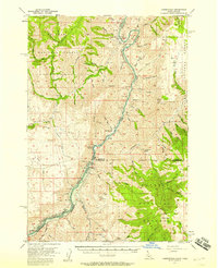
1957 · Copperfield
USGS Topo · 1:62,500
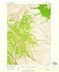
1957 · Sturgill Peak
USGS Topo · 1:62,500
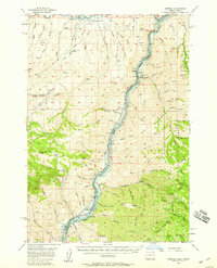
1957 · Mineral
USGS Topo · 1:62,500

1959 · Baker
USGS Topo · 1:250,000
1980 · McCall
USGS Topo · 1:100,000
1981 · Baker
USGS Topo · 1:100,000
1987 · Brownlee Dam
USGS Topo · 1:24,000