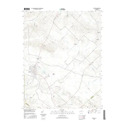
2016 Map of Sturgis
USGS Topo · Published 2016About this map
Sturgis serves as the primary municipal hub in this western Kentucky landscape, situated near the meeting point of Union, Crittenden, and Webster counties. The region is defined by a dense network of drainage ditches and creeks, such as Hopgood Ditch and Cypress Creek, which manage the low-lying terrain near the Tradewater River. Local history is anchored by numerous rural burial grounds including Pythian Ridge Cem and Mount Pleasant Cem, often found along named country roads like Poplar Ridge Rd and Bethel Church Rd. Small outlying settlements such as Sullivan, Pride, and Hazel dot the countryside, connected by routes that follow the natural contours of landmarks like Dyer Hills and Blueberry Hill. The presence of the Sturgis Municipal Airport and the remnants of the Railroad Bed Rd suggest the area's ongoing role as a local transportation and infrastructure corridor.
Find a feature on this map
79 named features on this map. Tap any name to fly to it.
Don’t see what you’re looking for? This feature index may not catch every label — zoom into the map to look around manually.
Map Details
Editions of this 2016 Sturgis Map
This is the sole edition of this map. No revisions or reprints were ever made.
Other maps of this area
1907 · Morganfield
USGS Topo · 1:62,500
1909 · Providence
USGS Topo · 1:62,500
1916 · Shawneetown
USGS Topo · 1:62,500
1916 · Fords Ferry
USGS Topo · 1:62,500
1921 · Fords Ferry
USGS Topo · 1:48,000
1925 · Cave In Rock
USGS Topo · 1:62,500
1949 · Paducah
USGS Topo · 1:250,000
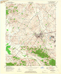
1949 · Morganfield
USGS Topo · 1:24,000
1950 · Paducah
USGS Topo · 1:250,000
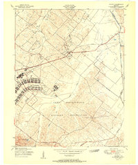
1951 · Waverly
USGS Topo · 1:24,000