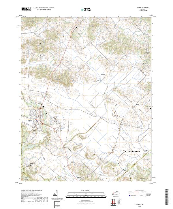
2022 Map of Sturgis
USGS Topo · Published 2022About this map
Sturgis anchors this section of western Kentucky, situated at the edge of the Dyer Hills and the winding course of Cypress Creek. The landscape is a complex network of agriculture and water management, defined by an extensive system of man-made waterways like Hapgood Ditch, Smith Ditch, and Bordley Ditch that drain the low-lying fields. These drainage patterns suggest a long-standing effort to reclaim fertile bottomlands for farming between the higher elevations of Blueberry Hill and Heath Mtn.
Find a feature on this map
96 named features on this map. Tap any name to fly to it.
Don’t see what you’re looking for? This feature index may not catch every label — zoom into the map to look around manually.
Map Details
Editions of this 2022 Sturgis Map
This is the sole edition of this map. No revisions or reprints were ever made.
Other maps of this area

1907 · Morganfield
USGS Topo · 1:62,500

1909 · Providence
USGS Topo · 1:62,500

1916 · Shawneetown
USGS Topo · 1:62,500

1916 · Fords Ferry
USGS Topo · 1:62,500

1921 · Fords Ferry
USGS Topo · 1:48,000

1925 · Cave In Rock
USGS Topo · 1:62,500

1949 · Paducah
USGS Topo · 1:250,000

1949 · Morganfield
USGS Topo · 1:24,000

1950 · Paducah
USGS Topo · 1:250,000

1951 · Waverly
USGS Topo · 1:24,000