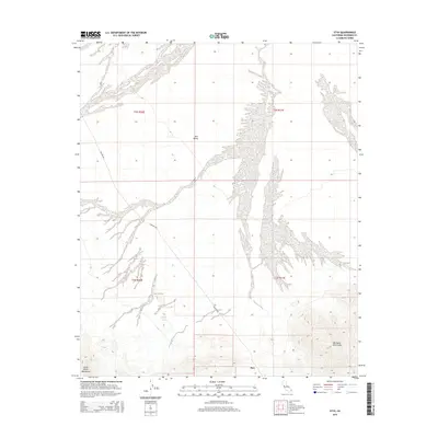
2015 Map of Styx
USGS Topo · Published 2015About this map
Rice Valley dominates the northern and central portions of this desert landscape, characterized by broad alluvial fans and washes that drain from the surrounding high ground. In the southern reach of the quadrangle, the terrain rises into the jagged contours of the Little Maria Mountains and the Big Maria Mountains. The settlement of Styx sits at the southern base of these peaks, serving as a landmark in an otherwise arid expanse. Transportation through the valley is defined by the diagonal path of Midland Rd, which cuts through the northwestern sections. A lone water source, Mojave Tank, appears in the southwest, highlighting the critical nature of water management and natural catchment in this part of the Mojave Desert. The map captures a moment in the mid-2010s where the land remains largely defined by its topography and the historical footprints of desert travel.
Find a feature on this map
10 named features on this map. Tap any name to fly to it.
Don’t see what you’re looking for? This feature index may not catch every label — zoom into the map to look around manually.
Map Details
Editions of this 2015 Styx Map
This is the sole edition of this map. No revisions or reprints were ever made.
Other maps of this area

1942 · Blythe
USGS Topo · 1:250,000
1943 · Vidal
USGS Topo · 1:62,500
1945 · Big Maria Mtns
USGS Topo · 1:62,500
1945 · Midland
USGS Topo · 1:62,500
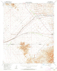
1949 · Vidal
USGS Topo · 1:62,500
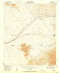
1950 · Vidal
USGS Topo · 1:62,500
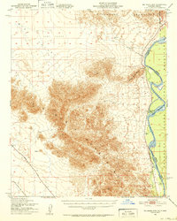
1951 · Big Maria Mts
USGS Topo · 1:62,500
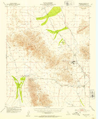
1952 · Midland
USGS Topo · 1:62,500

1954 · Salton Sea
USGS Topo · 1:250,000

1954 · Needles
USGS Topo · 1:250,000