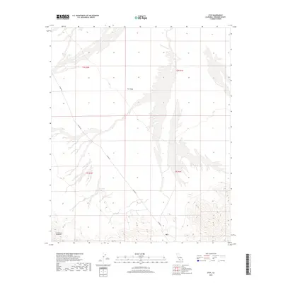
2018 Map of Styx
USGS Topo · Published 2018About this map
Rice Valley dominates this 2018 topographic survey, illustrating a desert landscape defined by broad alluvial plains and striking topographical shifts. The terrain is marked by the presence of Styx at the southern end of the valley, where the valley floor begins its ascent into the Little Maria Mountains. Human activity is primarily represented by the linear path of Midland Rd, which cuts through the arid basins of Riverside County. This map highlights the stark geometry of the Public Land Survey System, with township boundaries like t3s r20e and t2s r21e segmenting the open desert. The contour lines reveal the complex drainage patterns and desert washes that characterize the area around the mountain foothills, providing a clear view of the natural hydrology in this part of the Mojave Desert.
Find a feature on this map
8 named features on this map. Tap any name to fly to it.
Don’t see what you’re looking for? This feature index may not catch every label — zoom into the map to look around manually.
Map Details
Editions of this 2018 Styx Map
This is the sole edition of this map. No revisions or reprints were ever made.
Other maps of this area

1942 · Blythe
USGS Topo · 1:250,000
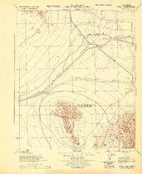
1943 · Vidal
USGS Topo · 1:62,500
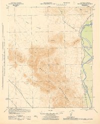
1945 · Big Maria Mtns
USGS Topo · 1:62,500
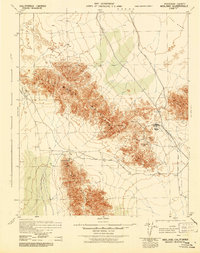
1945 · Midland
USGS Topo · 1:62,500
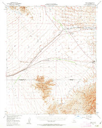
1949 · Vidal
USGS Topo · 1:62,500
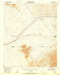
1950 · Vidal
USGS Topo · 1:62,500
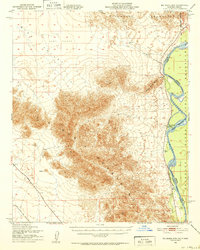
1951 · Big Maria Mts
USGS Topo · 1:62,500
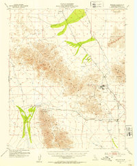
1952 · Midland
USGS Topo · 1:62,500

1954 · Salton Sea
USGS Topo · 1:250,000

1954 · Needles
USGS Topo · 1:250,000