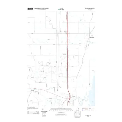
2013 Map of Suamico
USGS Topo · Published 2013About this map
Sobieski and Sobieski Corners serve as the northern hubs of this corridor in Brown County, where the landscape transitions toward the western shores of Lake Michigan. The region is defined by its drainage systems, with the Little Suamico River and Tibbet Cr winding through the northern sections while the Suamico River cuts across the south near Flintville. These waterways historically influenced the placement of early settlements like Tremble, which sits near the river's path. A dense grid of local roads, such as Co Hwy-S and Allen Rd, connects these residential and agricultural pockets, reflecting the 21st-century suburban and rural development patterns characteristic of the Green Bay area. The proximity to Little Suamico further emphasizes the network of small communities that have persisted along these coastal lowlands.
Find a feature on this map
93 named features on this map. Tap any name to fly to it.
Don’t see what you’re looking for? This feature index may not catch every label — zoom into the map to look around manually.
Map Details
Editions of this 2013 Suamico Map
This is the sole edition of this map. No revisions or reprints were ever made.
Other maps of this area

1954 · Green Bay West
USGS Topo · 1:24,000

1954 · New Franken
USGS Topo · 1:62,500

1954 · Green Bay East
USGS Topo · 1:24,000

1954 · Manitowoc
USGS Topo · 1:250,000

1954 · Green Bay
USGS Topo · 1:62,500

1955 · Green Bay
USGS Topo · 1:250,000

1956 · Oconto
USGS Topo · 1:62,500

1956 · Oconto Falls
USGS Topo · 1:62,500

1958 · Manitowoc
USGS Topo · 1:250,000

1974 · Abrams
USGS Topo · 1:24,000