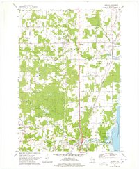
1974 Map of Suamico
USGS Topo · Published 1978About this map
Green Bay and the coastal wetlands of the Sensiba State Wildlife Area dominate the eastern edge of this mid-1970s survey. The landscape is defined by the winding paths of the Little Suamico River and the Suamico River, which supported early regional development. Inland, the map reveals a network of small communities including Sobieski, Flintville, and Tremble, often centered around rail crossings and local industry.
Find a feature on this map
42 named features on this map. Tap any name to fly to it.
Don’t see what you’re looking for? This feature index may not catch every label — zoom into the map to look around manually.
Map Details
Editions of this 1974 Suamico Map
This is the sole edition of this map. No revisions or reprints were ever made.
Other maps of this area

1954 · Green Bay West
USGS Topo · 1:24,000

1954 · New Franken
USGS Topo · 1:62,500

1954 · Green Bay East
USGS Topo · 1:24,000

1954 · Manitowoc
USGS Topo · 1:250,000

1954 · Green Bay
USGS Topo · 1:62,500

1955 · Green Bay
USGS Topo · 1:250,000

1956 · Oconto
USGS Topo · 1:62,500

1956 · Oconto Falls
USGS Topo · 1:62,500

1958 · Manitowoc
USGS Topo · 1:250,000

1974 · Abrams
USGS Topo · 1:24,000