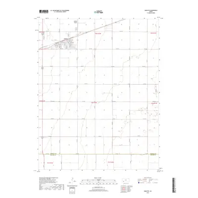
2018 Map of Sublette
USGS Topo · Published 2018About this map
Sublette stands as the central hub of this High Plains landscape, situated at the intersection of a vast grid of county roads that define the region's agricultural layout. The town's interior is thoroughly documented, from the main thoroughfares of W La Lande Ave and E La Lande Ave to residential streets like Pursley St and Diaden Dr. To the north, the Sublette Municipal Airport serves the community, while the southern reaches of the map mark the border between Haskell Co and Seward Co at 24 Mile Rd. This survey reflects the enduring structure of the Public Land Survey System, where section lines dictate the placement of nearly every road, such as Co Rd 200 and Co Rd NN, illustrating a landscape completely organized by 19th-century surveying principles even in the modern era.
Find a feature on this map
48 named features on this map. Tap any name to fly to it.
Don’t see what you’re looking for? This feature index may not catch every label — zoom into the map to look around manually.
Map Details
Editions of this 2018 Sublette Map
This is the sole edition of this map. No revisions or reprints were ever made.
Other maps of this area
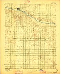
1896 · Garden
USGS Topo · 1:125,000
1955 · Dodge City
USGS Topo · 1:250,000
1958 · Dodge City
USGS Topo · 1:250,000
1959 · Dodge City
USGS Topo · 1:250,000
1960 · Garden City 3 SW
USGS Topo · 1:24,000
1960 · Garden City 3 SE
USGS Topo · 1:24,000
1968 · Plains SW
USGS Topo · 1:24,000
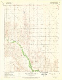
1968 · Sublette SW
USGS Topo · 1:24,000
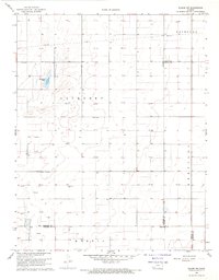
1968 · Plains NW
USGS Topo · 1:24,000
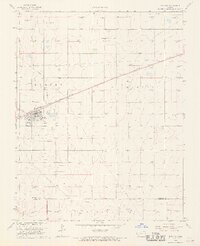
1968 · Satanta
USGS Topo · 1:24,000