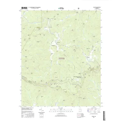
2017 Map of Suches
USGS Topo · Published 2017About this map
Gaddistown and Suches serve as the primary coordinates for this area of north Georgia, where the terrain is defined by the high ridges of the Blue Ridge and the Chattahoochee National Forest. The Appalachian National Scenic Trail winds through the southern portion of the map, passing through landmarks such as Gooch Gap and Horse Gap. This 2017 survey reveals a landscape where high-altitude settlements like Suches coexist with several rural burial grounds including Mount Pleasant Number 2 Cem and Pleasant Valley Cem. The presence of the High Valley Airpark near Abercrombie Bald highlights the modern integration of aviation into this mountain environment. Along the Etowah River and Cooper Creek, the names of numerous gaps and knobs, such as Devils Kitchen and Double Knobs, reflect a long history of local geographic naming used by generations of residents in Union County.
Find a feature on this map
145 named features on this map. Tap any name to fly to it.
Don’t see what you’re looking for? This feature index may not catch every label — zoom into the map to look around manually.
Map Details
Editions of this 2017 Suches Map
This is the sole edition of this map. No revisions or reprints were ever made.
Other maps of this area
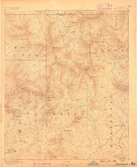
1886 · Dahlonega
USGS Topo · 1:125,000
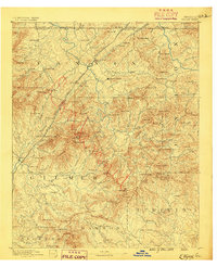
1888 · Ellijay
USGS Topo · 1:125,000
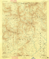
1892 · Dahlonega
USGS Topo · 1:125,000
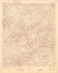
1892 · Ellijay
USGS Topo · 1:125,000
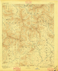
1896 · Dahlonega
USGS Topo · 1:125,000
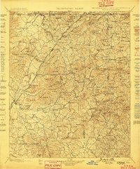
1898 · Ellijay
USGS Topo · 1:125,000
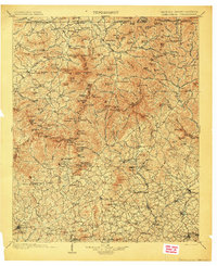
1903 · Dahlonega
USGS Topo · 1:125,000
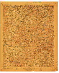
1911 · Ellijay
USGS Topo · 1:125,000
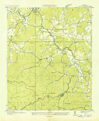
1935 · Coosa Bald
USGS Topo · 1:24,000
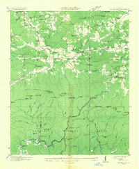
1935 · Mulky Gap
USGS Topo · 1:24,000