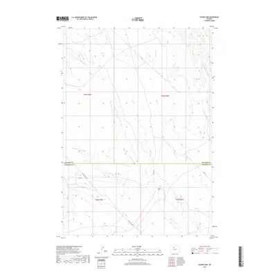
2017 Map of Sucker Dam
USGS Topo · Published 2017About this map
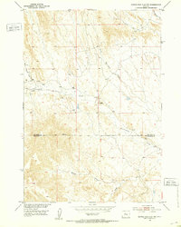
Sucker Dam sits near the heart of this high-plains landscape, where the seasonal drainages of Washakie Co and Big Horn Co converge. The terrain is defined by a network of intermittent waterways, including the winding Fifteenmile Creek, Crooked Cr, and Rock Waterhole Cr. This 2017 survey reveals the intersection of natural geothermic activity at Rosette Geyser with industrial infrastructure, most notably the Platte Pipeline Rd which cuts across the southern quadrants. The area is also navigated by 15 Mile Rd, serving as a primary corridor through a region dominated by ephemeral streams like Dry Cottonwood Cr and Corral Cr.
Find a feature on this map
16 named features on this map. Tap any name to fly to it.
Don’t see what you’re looking for? This feature index may not catch every label — zoom into the map to look around manually.
Map Details
Editions of this 2017 Sucker Dam Map
This is the sole edition of this map. No revisions or reprints were ever made.
Other maps of this area
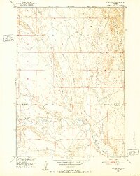
1951 · Sucker Dam
USGS Topo · 1:24,000
1951 · Dutch Nick Flat
USGS Topo · 1:24,000
1951 · Schuster Flats
USGS Topo · 1:24,000
1951 · Schuster Flats NW
USGS Topo · 1:24,000
1951 · Dutch Nick Flat SW
USGS Topo · 1:24,000
1951 · Sheep Mountain
USGS Topo · 1:24,000
1951 · Wardel Reservoir
USGS Topo · 1:24,000
1951 · Dutch Nick Flat NW
USGS Topo · 1:24,000

1955 · Cody
USGS Topo · 1:250,000

1958 · Cody
USGS Topo · 1:250,000