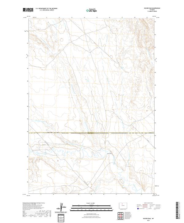
2021 Map of Sucker Dam
USGS Topo · Published 2021About this map
Sucker Dam sits at the heart of this high plains landscape, anchoring a complex network of ephemeral drainages along the border of Big Horn and Washakie counties. The terrain is defined by the erosive patterns of Fifteenmile Creek and its many tributaries, including Dry Cottonwood Cr, Corral Cr, and Rock Waterhole Cr. These drainages suggest a land shaped by seasonal water flow and ranching utility, evidenced by the presence of the namesake dam and the Rosette Geyser to the north.
Find a feature on this map
17 named features on this map. Tap any name to fly to it.
Don’t see what you’re looking for? This feature index may not catch every label — zoom into the map to look around manually.
Map Details
Editions of this 2021 Sucker Dam Map
This is the sole edition of this map. No revisions or reprints were ever made.
Other maps of this area

1951 · Sucker Dam
USGS Topo · 1:24,000

1951 · Dutch Nick Flat
USGS Topo · 1:24,000

1951 · Schuster Flats
USGS Topo · 1:24,000

1951 · Schuster Flats NW
USGS Topo · 1:24,000

1951 · Dutch Nick Flat SW
USGS Topo · 1:24,000

1951 · Sheep Mountain
USGS Topo · 1:24,000

1951 · Wardel Reservoir
USGS Topo · 1:24,000

1951 · Dutch Nick Flat NW
USGS Topo · 1:24,000

1955 · Cody
USGS Topo · 1:250,000

1958 · Cody
USGS Topo · 1:250,000