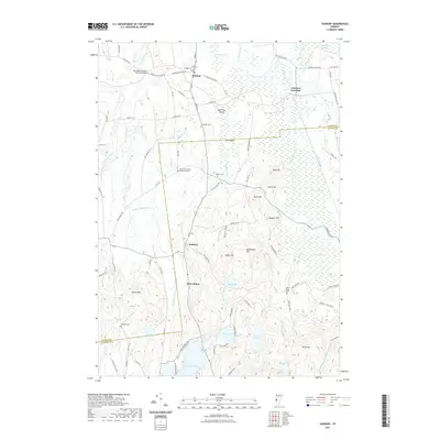
2021 Map of Sudbury
USGS Topo · Published 2021About this map
Shoreham Covered Railroad Bridge spans the northwestern corner of this landscape, marking a historic junction between rail infrastructure and the water systems of Sawmill Brook and the Lemon Fair River. The region is defined by a dense concentration of early burying grounds, including the Crown Point Road Monument Cem and several family-named sites like G F Emmons Cem and Choates Cem, which offer significant value for genealogical research.
Find a feature on this map
97 named features on this map. Tap any name to fly to it.
Don’t see what you’re looking for? This feature index may not catch every label — zoom into the map to look around manually.
Map Details
Editions of this 2021 Sudbury Map
This is the sole edition of this map. No revisions or reprints were ever made.
Other maps of this area

1893 · Whitehall
USGS Topo · 1:62,500

1894 · Ticonderoga
USGS Topo · 1:62,500

1895 · Whitehall
USGS Topo · 1:62,500

1895 · Castleton
USGS Topo · 1:62,500

1896 · Ticonderoga
USGS Topo · 1:62,500

1897 · Castleton
USGS Topo · 1:62,500

1898 · Whitehall
USGS Topo · 1:62,500

1902 · Whitehall
USGS Topo · 1:62,500

1902 · Ticonderoga
USGS Topo · 1:62,500

1902 · Brandon
USGS Topo · 1:62,500