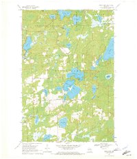
1970 Map of Sugar Camp
USGS Topo · Published 1972About this map
American Legion State Forest dominates the northern reaches of this lake-strewn landscape, where the interconnected waters of Indian Lake and Sugar Camp Lake form a central aquatic hub. The settlement of Sugar Camp sits just west of this chain, serving as a focal point for a region defined by its complex hydrology of creeks and basins. Glacial legacy is evident in the dense concentration of named water bodies, from the narrow reach of Long Lake to the expansive Columbus Lake on the eastern edge.
Find a feature on this map
37 named features on this map. Tap any name to fly to it.
Don’t see what you’re looking for? This feature index may not catch every label — zoom into the map to look around manually.
Map Details
Editions of this 1970 Sugar Camp Map
2 editions found
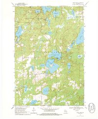
Other maps of this area

1928 · Three Lakes
USGS Topo · 1:48,000

1930 · Robbins
USGS Topo · 1:48,000

1938 · Three Lakes
USGS Topo · 1:48,000

1938 · Robbins
USGS Topo · 1:48,000

1940 · Monico
USGS Topo · 1:48,000

1940 · Rhinelander
USGS Topo · 1:48,000

1945 · Three Lakes
USGS Topo · 1:48,000

1945 · Robbins
USGS Topo · 1:48,000

1949 · Rhinelander
USGS Topo · 1:48,000

1950 · Monico
USGS Topo · 1:48,000