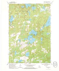
1970 Map of Sugar Camp
USGS Topo · Published 1986About this map
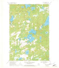
Sugar Camp serves as the central settlement in this northern Wisconsin lake district, situated just south of the sprawling American Legion State Forest. The landscape is defined by an intricate network of glacial lakes and waterways, including the large Sugar Camp Lake and the nearby Indian Lake, which features an Indian Lookout Tower on its northern shore. The geography is characterized by numerous kettle lakes like Arbutus Lake, Kathan Lake, and Columbus Lake, separated by wetlands and narrow ridges. Local industry and infrastructure are represented by several Gravel Pits and the Sugar Camp Ch, providing a clear view of the rural community structure in Oneida County during the early 1970s. The northern portion of the map transition into the protected forest lands, where smaller bodies of water like Baggs Lake and Denton Lake remain largely undeveloped.
Find a feature on this map
40 named features on this map. Tap any name to fly to it.
Don’t see what you’re looking for? This feature index may not catch every label — zoom into the map to look around manually.
Map Details
Editions of this 1970 Sugar Camp Map
2 editions found
Other maps of this area

1928 · Three Lakes
USGS Topo · 1:48,000

1930 · Robbins
USGS Topo · 1:48,000

1938 · Three Lakes
USGS Topo · 1:48,000

1938 · Robbins
USGS Topo · 1:48,000

1940 · Monico
USGS Topo · 1:48,000

1940 · Rhinelander
USGS Topo · 1:48,000

1945 · Three Lakes
USGS Topo · 1:48,000

1945 · Robbins
USGS Topo · 1:48,000

1949 · Rhinelander
USGS Topo · 1:48,000

1950 · Monico
USGS Topo · 1:48,000