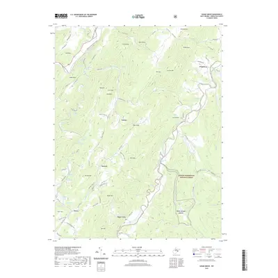
2019 Map of Sugar Grove
USGS Topo · Published 2019About this map
The South Fork of the South Branch Potomac River carves through this pocket of Pendleton County, anchoring a landscape where agriculture and natural springs define the valley floor. Small, historic settlements like Sugar Grove and Moyers are situated along the river and its tributaries, including Whitehorn Creek. The presence of numerous named water sources, such as Hiner Farm Spring and Powder Mill Spring, suggests a long-standing reliance on the local aquifers for farming and early industry.
Find a feature on this map
103 named features on this map. Tap any name to fly to it.
Don’t see what you’re looking for? This feature index may not catch every label — zoom into the map to look around manually.
Map Details
Editions of this 2019 Sugar Grove Map
This is the sole edition of this map. No revisions or reprints were ever made.
Other maps of this area

1892 · Franklin
USGS Topo · 1:125,000

1894 · Staunton
USGS Topo · 1:125,000

1896 · Franklin
USGS Topo · 1:125,000

1922 · Fort Seybert
USGS Topo · 1:48,000

1922 · Circleville
USGS Topo · 1:62,500

1924 · Circleville
USGS Topo · 1:48,000

1924 · Mc Dowell
USGS Topo · 1:62,500

1924 · Fort Seybert
USGS Topo · 1:62,500

1944 · Parnassus
USGS Topo · 1:62,500

1944 · Mc Dowell
USGS Topo · 1:62,500