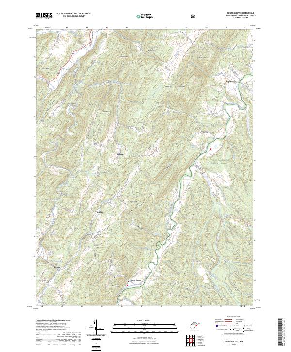
2023 Map of Sugar Grove
USGS Topo · Published 2023About this map
The South Branch Potomac River and its southern fork carve through the parallel ridges of Pendleton County, framing a landscape defined by high gaps and isolated mountain settlements. In this part of the George Washington National Forest, the terrain is marked by steep elevations like Mitchell Mtn and Neds Mtn, which separate the narrow valleys where families established homesteads at Dahmer and Moyers. The presence of Powder Mill Spring near the western edge of the quadrangle suggests early industrial activity tied to the region's natural resources.
Find a feature on this map
103 named features on this map. Tap any name to fly to it.
Don’t see what you’re looking for? This feature index may not catch every label — zoom into the map to look around manually.
Map Details
Editions of this 2023 Sugar Grove Map
This is the sole edition of this map. No revisions or reprints were ever made.
Other maps of this area

1892 · Franklin
USGS Topo · 1:125,000

1894 · Staunton
USGS Topo · 1:125,000

1896 · Franklin
USGS Topo · 1:125,000

1922 · Fort Seybert
USGS Topo · 1:48,000

1922 · Circleville
USGS Topo · 1:62,500

1924 · Circleville
USGS Topo · 1:48,000

1924 · Mc Dowell
USGS Topo · 1:62,500

1924 · Fort Seybert
USGS Topo · 1:62,500

1944 · Parnassus
USGS Topo · 1:62,500

1944 · Mc Dowell
USGS Topo · 1:62,500