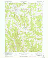
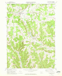
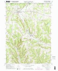
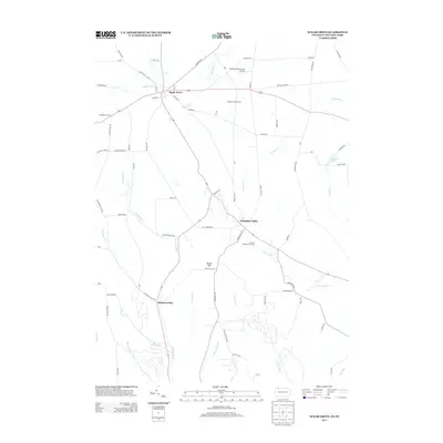
1968 Map of Sugar Grove
USGS Topo · Published 1976About this map
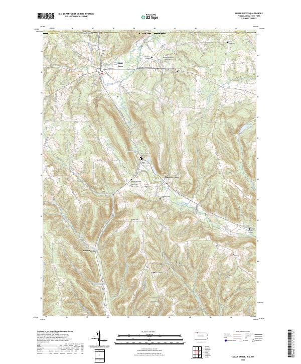
Sugar Grove serves as the focal point of this northern Warren County landscape, situated just south of the New York Pennsylvania border. This mid-century survey captures a rural environment defined by the extensive Oil Field operations and early industrial infrastructure like the Pumping Station and several Gravel Pits. The settlement pattern follows the drainage of numerous small waterways, including Stillwater Creek and Matthews Run, where local communities established landmarks like Peoples Ch and the Wesleyan Cem. In Chandlers Valley, the presence of the Chandlers Valley Cem and Brown Hill Ch reflects the established genealogy of the Brokenstraw and Farmington townships. The map records a transition in the late 1960s and 1970s, where traditional agriculture and oil extraction coexist with newer additions like a Radio Tower and Golf Course near Yankee Bush Run.
Find a feature on this map
39 named features on this map. Tap any name to fly to it.
Don’t see what you’re looking for? This feature index may not catch every label — zoom into the map to look around manually.
Map Details
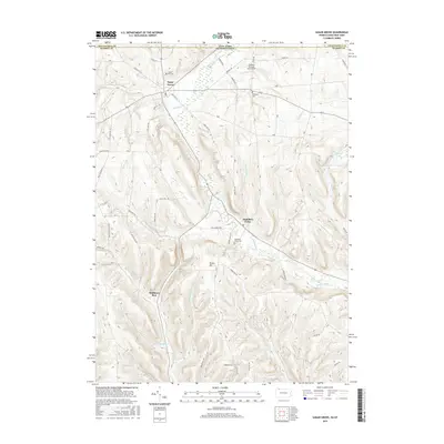
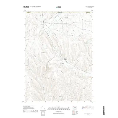
Editions of this 1968 Sugar Grove Map
3 editions found
Historical Maps of Busti Through Time
6 maps found
Featured Locations
- Pittsfield Township, PA
- Sugar Grove, PA
- Busti, NY
- Chandlers Valley, Sugar Grove Township
- Matthews Run, Sugar Grove Township