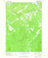
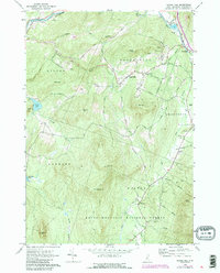
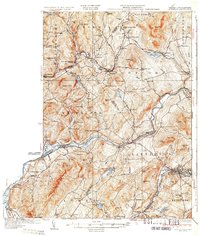
1967 Map of Sugar Hill
USGS Topo · Published 1973About this map
Sugar Hill sits at the heart of this landscape, surrounded by the high elevations of Garnet Hill and Northey Hill. The survey captures the town's character as a mountain community where winding routes like Lovers Lane and Whipple Road connect dispersed homesteads and village centers. To the north, the Ammonoosuc River and the Boston and Maine railroad line trace the valley floor, marking the primary transportation artery through the region.
Find a feature on this map
51 named features on this map. Tap any name to fly to it.
Don’t see what you’re looking for? This feature index may not catch every label — zoom into the map to look around manually.
Map Details
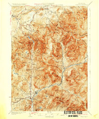
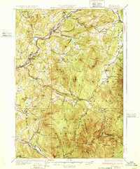
Editions of this 1967 Sugar Hill Map
3 editions found

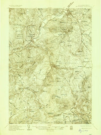
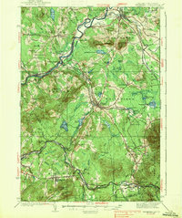
Other maps of this area

1900 · Whitefield
USGS Topo · 1:62,500

1929 · Moosilauke
USGS Topo · 1:62,500

1929 · Franconia
USGS Topo · 1:62,500

1931 · Littleton
USGS Topo · 1:62,500
1932 · Franconia
USGS Topo · 1:62,500

1932 · Littleton
USGS Topo · 1:48,000
1932 · Moosilauke
USGS Topo · 1:62,500
1935 · Littleton
USGS Topo · 1:62,500
1935 · Whitefield
USGS Topo · 1:48,000
1938 · Whitefield
USGS Topo · 1:62,500