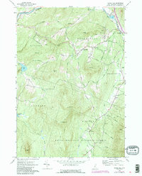
1967 Map of Sugar Hill
USGS Topo · Published 1988About this map
The Ammonoosuc River sweeps across the northern corner of this landscape, anchoring a region of high hills and scattered mountain settlements in the White Mountain National Forest. Centered on the town of Sugar Hill, the map reveals a network of high-elevation roads including Lovers Lane and Streeter Road. The layout of the land reflects a transition from early industrial efforts at Ore Hill to recreational development, evidenced by the presence of a Golf Course and several reservoirs. Local genealogy is well-documented through several burial grounds, including Sunnyside Cem and Willow Cem, while the ecclesiastical history of the community is marked by St Matthews Ch. To the east, the settlement of Franconia sits near the Ham Branch of the river, while the southern reaches move into the steep elevations of Bald Peak and Cole Hill.
Find a feature on this map
65 named features on this map. Tap any name to fly to it.
Don’t see what you’re looking for? This feature index may not catch every label — zoom into the map to look around manually.
Map Details
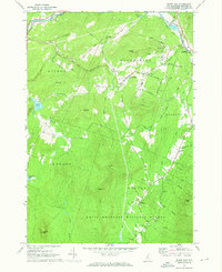
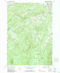
Editions of this 1967 Sugar Hill Map
3 editions found
Other maps of this area

1900 · Whitefield
USGS Topo · 1:62,500

1929 · Moosilauke
USGS Topo · 1:62,500

1929 · Franconia
USGS Topo · 1:62,500

1931 · Littleton
USGS Topo · 1:62,500

1932 · Franconia
USGS Topo · 1:62,500

1932 · Littleton
USGS Topo · 1:48,000

1932 · Moosilauke
USGS Topo · 1:62,500

1935 · Littleton
USGS Topo · 1:62,500

1935 · Whitefield
USGS Topo · 1:48,000

1938 · Whitefield
USGS Topo · 1:62,500