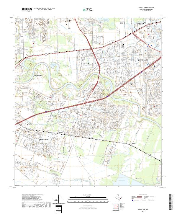
2022 Map of Sugar Land
USGS Topo · Published 2022About this map
The Brazos River creates a meandering central corridor through this modern landscape, dividing the expanding suburban developments of Sugar Land and Richmond. These contemporary communities are built over a deep history of rural life and institutional land use, evidenced by the scattered small burial grounds like Murphy Jones Cem and Dickson Cem. A notable geographic transition occurs south of the urban centers, where the terrain opens into the wetland-rich drainage of Gapps Slough and Smithers Lake near the community of Thompsons.
Find a feature on this map
278 named features on this map. Tap any name to fly to it.
Don’t see what you’re looking for? This feature index may not catch every label — zoom into the map to look around manually.
Map Details
Editions of this 2022 Sugar Land Map
This is the sole edition of this map. No revisions or reprints were ever made.
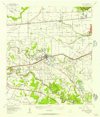
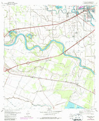
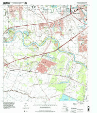
Historical Maps of Crabb Through Time
4 maps found