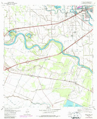
1970 Map of Sugar Land
USGS Topo · Published 1987About this map
Brazos River meanders sharply through this landscape, defining the character of the terrain with abandoned oxbows like Old River Lake and Horseshoe Lake. The area is notably occupied by massive institutional landholdings, including the Jester State Prison Farm, Central State Prison Farm, and several other prison units, which maintain large open tracts across the river's floodplains.
Find a feature on this map
54 named features on this map. Tap any name to fly to it.
Don’t see what you’re looking for? This feature index may not catch every label — zoom into the map to look around manually.
Map Details
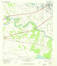
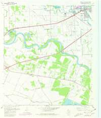
Editions of this 1970 Sugar Land Map
Other maps of this area

1915 · Alief
USGS Topo · 1:24,000

1915 · Clodine
USGS Topo · 1:24,000

1919 · Clodine
USGS Topo · 1:31,680

1950 · Houston
USGS Topo · 1:250,000

1953 · Needville
USGS Topo · 1:24,000

1953 · Lake George
USGS Topo · 1:24,000

1953 · Thompsons
USGS Topo · 1:24,000

1955 · Sugar Land
USGS Topo · 1:62,500

1955 · Richmond
USGS Topo · 1:62,500

1956 · Houston
USGS Topo · 1:250,000