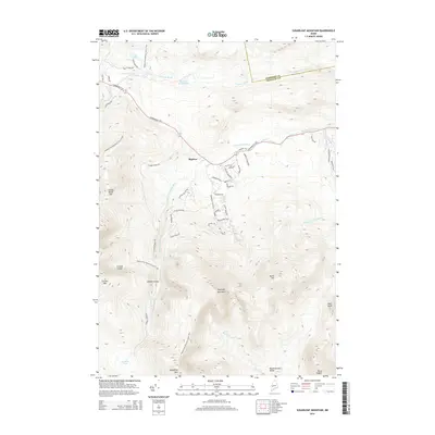
2014 Map of Sugarloaf Mountain
USGS Topo · Published 2014About this map
Sugarloaf Mountain dominates this part of the Maine highlands, serving as a central hub for recreational infrastructure and high-altitude terrain. The map traces the winding route of the Appalachian National Scenic Trail as it traverses major peaks including S Crocker Mtn and Spaulding Mtn. This area is defined by its dramatic glacial features, most notably the Crocker Cirque tucked beneath the western summits. Settlement is concentrated near Bigelow and along the Carrabassett River, where a network of local roads like Sugarloaf Access Rd and residential developments such as Village On The Grn cater to the mountain's seasonal activity. Further south, the landscape transitions into the more secluded Rapid Stream Valley, flanked by Burnt Hill and Owls Head, illustrating the balance between organized resort growth and remote wilderness characteristic of Franklin County.
Find a feature on this map
54 named features on this map. Tap any name to fly to it.
Don’t see what you’re looking for? This feature index may not catch every label — zoom into the map to look around manually.
Map Details
Editions of this 2014 Sugarloaf Mountain Map
This is the sole edition of this map. No revisions or reprints were ever made.
Other maps of this area

1928 · Dead River
USGS Topo · 1:62,500

1928 · Stratton
USGS Topo · 1:48,000

1929 · Phillips
USGS Topo · 1:48,000

1930 · Kingfield
USGS Topo · 1:48,000

1931 · Dead River
USGS Topo · 1:48,000

1932 · Phillips
USGS Topo · 1:62,500

1932 · Stratton
USGS Topo · 1:62,500

1932 · Kingfield
USGS Topo · 1:62,500

1944 · Dead River
USGS Topo · 1:62,500

1949 · Jackman
USGS Topo · 1:250,000
Featured Places
- Kingfield, ME
- Carrabassett Valley, ME
- Wyman Township, ME
- Dead River Township, ME
- Bigelow, Carrabassett Valley