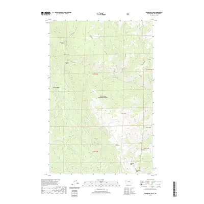
2020 Map of Sugarloaf Peak
USGS Topo · Published 2020About this map
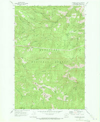
Sugarloaf Peak rises as a prominent landmark in the southeastern corner of this high-elevation terrain within the Wenatchee National Forest. The landscape is defined by the steep descent of the Entiat Mountains, where a complex network of ridges and drainages dictates the movement of water and travel. The Mad River and its upper and lower reaches carve deep into the heart of the area, joined by tributaries such as Jimmy Creek and Billy Creek.
Find a feature on this map
34 named features on this map. Tap any name to fly to it.
Don’t see what you’re looking for? This feature index may not catch every label — zoom into the map to look around manually.
Map Details
Editions of this 2020 Sugarloaf Peak Map
This is the sole edition of this map. No revisions or reprints were ever made.
Other maps of this area

1901 · Chelan
USGS Topo · 1:125,000

1901 · Chiwaukum
USGS Topo · 1:125,000

1904 · Chiwaukum
USGS Topo · 1:125,000

1957 · Wenatchee
USGS Topo · 1:250,000

1964 · Leavenworth
USGS Topo · 1:62,500
1968 · Silver Falls
USGS Topo · 1:24,000

1968 · Tyee Mtn.
USGS Topo · 1:24,000
1968 · Sugarloaf Peak
USGS Topo · 1:24,000
1968 · Plain
USGS Topo · 1:24,000
1968 · Chumstick Mtn
USGS Topo · 1:24,000