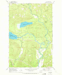
1968 Map of Plain
USGS Topo · Published 1972About this map
Wenatchee National Forest surrounds the converging waters of the Chiwawa River and the Wenatchee River in this 1960s study of Chelan County. The landscape is defined by the recreation and timber-rich terrain of the North Cascades, featuring the popular Lake Wenatchee State Park and the high waters of Fish Lake. Near the settlement of Plain, the river system supports various infrastructure including a flume, siphon, and a Gaging Station.
Find a feature on this map
49 named features on this map. Tap any name to fly to it.
Don’t see what you’re looking for? This feature index may not catch every label — zoom into the map to look around manually.
Map Details
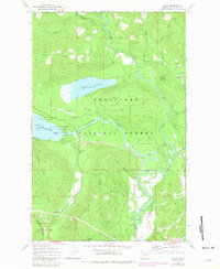
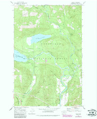
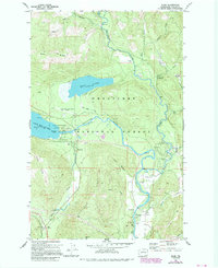
Editions of this 1968 Plain Map
4 editions found
Other maps of this area

1901 · Chiwaukum
USGS Topo · 1:125,000

1904 · Chiwaukum
USGS Topo · 1:125,000

1957 · Wenatchee
USGS Topo · 1:250,000

1964 · Leavenworth
USGS Topo · 1:62,500

1965 · Chiwaukum Mts
USGS Topo · 1:62,500

1965 · Wenatchee Lake
USGS Topo · 1:62,500
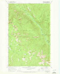
1968 · Silver Falls
USGS Topo · 1:24,000
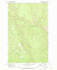
1968 · Sugarloaf Peak
USGS Topo · 1:24,000
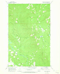
1968 · Chikamin Creek
USGS Topo · 1:24,000
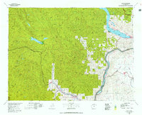
1975 · Chelan
USGS Topo · 1:100,000