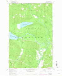
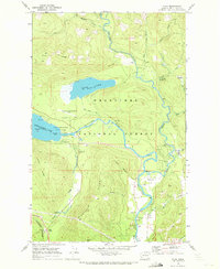
1968 Map of Plain
USGS Topo · Published 1981About this map
The Wenatchee River and Chiwawa River define this valley landscape during the late 1960s and early 1980s. The settlement of Plain serves as a local hub near Schugart Flat, where a Grange Hall and Gaging Station reflect the area's civic and hydrological infrastructure. To the west, recreation is centered around Lake Wenatchee State Park, which includes a Boat Ramp and the nearby YMCA Camp. Transport and utility patterns are evident through the Burlington Northern railroad corridor passing through Coles Corner and the network of local routes like the Camp 12 Road. The presence of the Lake Wenatchee State Emergency Airstrip near Fish Lake highlights the logistical importance of this mountain valley within the Wenatchee National Forest, while features like a Flume and various borrow pits point to the managed nature of the surrounding timber and river lands.
Find a feature on this map
44 named features on this map. Tap any name to fly to it.
Don’t see what you’re looking for? This feature index may not catch every label — zoom into the map to look around manually.
Map Details
Editions of this 1968 Plain Map
4 editions found
Other maps of this area

1901 · Chiwaukum
USGS Topo · 1:125,000

1904 · Chiwaukum
USGS Topo · 1:125,000

1957 · Wenatchee
USGS Topo · 1:250,000

1964 · Leavenworth
USGS Topo · 1:62,500

1965 · Chiwaukum Mts
USGS Topo · 1:62,500

1965 · Wenatchee Lake
USGS Topo · 1:62,500
1968 · Silver Falls
USGS Topo · 1:24,000
1968 · Sugarloaf Peak
USGS Topo · 1:24,000
1968 · Plain
USGS Topo · 1:24,000
1968 · Chikamin Creek
USGS Topo · 1:24,000