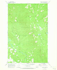
1968 Map of Chikamin Creek
USGS Topo · Published 1973About this map
Wenatchee National Forest dominates this mountain landscape, defined by the sharp transition between the Entiat Mountains and the winding course of the Chiwawa River. The 1968 survey details a wilderness structured by water and high-altitude ridges, where the river valley serves as a primary corridor for seasonal camps like Huckleberry Ford Campground and Grouse Creek Campground. Higher elevations are marked by high meadows and small alpine basins, including Mad Lake and Marble Meadow, connected by an extensive network of foot travel routes labeled simply as Pack Trail or Trail. A solitary Mine located near Alder Creek suggests the small-scale prospecting that occasionally punctured this otherwise timbered and protected terrain. The presence of marked shelters and campgrounds along the river and high lakes indicates the area's established role in backcountry recreation during the mid-twentieth century.
Find a feature on this map
36 named features on this map. Tap any name to fly to it.
Don’t see what you’re looking for? This feature index may not catch every label — zoom into the map to look around manually.
Map Details
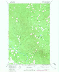
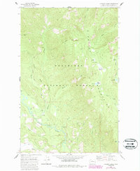
Editions of this 1968 Chikamin Creek Map
3 editions found
Other maps of this area

1901 · Chiwaukum
USGS Topo · 1:125,000

1902 · Stehekin
USGS Topo · 1:125,000

1904 · Stehekin
USGS Topo · 1:125,000

1904 · Chiwaukum
USGS Topo · 1:125,000

1944 · Holden
USGS Topo · 1:62,500

1944 · Lucerne
USGS Topo · 1:62,500

1949 · Lucerne
USGS Topo · 1:62,500

1949 · Holden
USGS Topo · 1:62,500

1955 · Concrete
USGS Topo · 1:250,000

1957 · Wenatchee
USGS Topo · 1:250,000