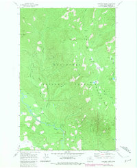
1968 Map of Chikamin Creek
USGS Topo · Published 1981About this map
The Entiat Mountains dominate this high-country landscape within the Wenatchee National Forest, where the terrain transitions from steep ridges to high-elevation meadows. The Chiwawa River flows along the southwestern corner, serving as a primary drainage point for numerous tributaries including Chikamin Creek and Brush Creek. This environment is characterized by its isolation, with access primarily facilitated by a network of pack trails rather than developed roads.
Find a feature on this map
37 named features on this map. Tap any name to fly to it.
Don’t see what you’re looking for? This feature index may not catch every label — zoom into the map to look around manually.
Map Details
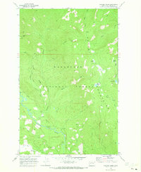
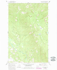
Editions of this 1968 Chikamin Creek Map
3 editions found
Other maps of this area

1901 · Chiwaukum
USGS Topo · 1:125,000

1902 · Stehekin
USGS Topo · 1:125,000

1904 · Stehekin
USGS Topo · 1:125,000

1904 · Chiwaukum
USGS Topo · 1:125,000

1944 · Holden
USGS Topo · 1:62,500

1944 · Lucerne
USGS Topo · 1:62,500

1949 · Lucerne
USGS Topo · 1:62,500

1949 · Holden
USGS Topo · 1:62,500

1955 · Concrete
USGS Topo · 1:250,000

1957 · Wenatchee
USGS Topo · 1:250,000