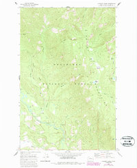
1968 Map of Chikamin Creek
USGS Topo · Published 1987About this map
Wenatchee National Forest encompasses this high country landscape in Chelan County, where the Chiwawa River and Mad River carve through the Entiat Mountains. The topography is defined by prominent divides like Chikamin Ridge, Minnow Ridge, and Marble Ridge, which separate the drainage basins of Chikamin Creek and Minnow Creek. This 1960s field survey, updated in the 1980s, documents the recreational footprint of the region through established sites such as Huckleberry Ford Campground, Grouse Creek Campground, and Marble Creek Camp.
Find a feature on this map
40 named features on this map. Tap any name to fly to it.
Don’t see what you’re looking for? This feature index may not catch every label — zoom into the map to look around manually.
Map Details
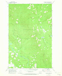
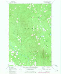
Editions of this 1968 Chikamin Creek Map
3 editions found
Other maps of this area

1901 · Chiwaukum
USGS Topo · 1:125,000

1902 · Stehekin
USGS Topo · 1:125,000

1904 · Stehekin
USGS Topo · 1:125,000

1904 · Chiwaukum
USGS Topo · 1:125,000

1944 · Holden
USGS Topo · 1:62,500

1944 · Lucerne
USGS Topo · 1:62,500

1949 · Lucerne
USGS Topo · 1:62,500

1949 · Holden
USGS Topo · 1:62,500

1955 · Concrete
USGS Topo · 1:250,000

1957 · Wenatchee
USGS Topo · 1:250,000