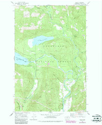
1968 Map of Plain
USGS Topo · Published 1987About this map
Wenatchee National Forest dominates this mountain landscape where the Chiwawa River and Wenatchee River converge. The settlement of Plain and the highway junction at Coles Corner anchor the local road network, while the Burlington Northern railroad follows the curve of Nason Creek to the south. The map documents a recreation-heavy economy in the late 1960s, evidenced by the Lake Wenatchee State Park and numerous specialized sites like the YMCA Camp, the Lake Wenatchee State Emergency Airstrip, and several riverside campgrounds. Genealogists and local historians may find interest in the scattered residential markers at Schugart Flat and the presence of community buildings like the Grange Hall. From the heights of Natapoc Ridge to the low meadows of Burgess Meadow, the topography reveals a terrain shaped by water and timber.
Find a feature on this map
42 named features on this map. Tap any name to fly to it.
Don’t see what you’re looking for? This feature index may not catch every label — zoom into the map to look around manually.
Map Details
Editions of this 1968 Plain Map
4 editions found
Other maps of this area

1901 · Chiwaukum
USGS Topo · 1:125,000

1904 · Chiwaukum
USGS Topo · 1:125,000

1957 · Wenatchee
USGS Topo · 1:250,000

1964 · Leavenworth
USGS Topo · 1:62,500

1965 · Chiwaukum Mts
USGS Topo · 1:62,500

1965 · Wenatchee Lake
USGS Topo · 1:62,500
1968 · Silver Falls
USGS Topo · 1:24,000
1968 · Sugarloaf Peak
USGS Topo · 1:24,000
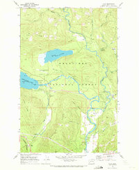
1968 · Plain
USGS Topo · 1:24,000
1968 · Chikamin Creek
USGS Topo · 1:24,000