
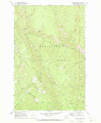
1968 Map of Tyee Mtn.
USGS Topo · Published 1972About this map
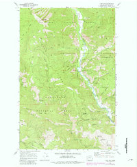
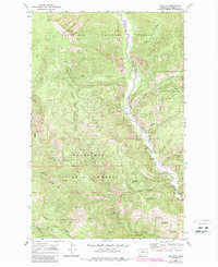
The Entiat River carves a deep valley through the Wenatchee National Forest in this late 1960s survey, serving as the primary corridor for development and recreation. High above the valley floor, Tyee Mtn stands as a prominent landmark topped by a lookout station, overlooking a complex network of elevations including Tyee Ridge and Hornet Ridge. The landscape is defined by its transition from the riverbanks to the high timberline, accessed by a system of pack trails and early access roads.
Find a feature on this map
53 named features on this map. Tap any name to fly to it.
Don’t see what you’re looking for? This feature index may not catch every label — zoom into the map to look around manually.
Map Details
Editions of this 1968 Tyee Mtn. Map
Other maps of this area

1901 · Chelan
USGS Topo · 1:125,000

1901 · Chiwaukum
USGS Topo · 1:125,000

1904 · Chiwaukum
USGS Topo · 1:125,000

1957 · Wenatchee
USGS Topo · 1:250,000

1964 · Leavenworth
USGS Topo · 1:62,500
1968 · Silver Falls
USGS Topo · 1:24,000
1968 · Stormy Mtn.
USGS Topo · 1:24,000

1968 · Ardenvoir
USGS Topo · 1:24,000
1968 · Sugarloaf Peak
USGS Topo · 1:24,000

1968 · Baldy Mtn
USGS Topo · 1:24,000