
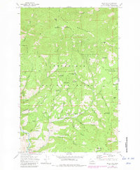
1968 Map of Baldy Mtn
USGS Topo · Published 1972About this map
Ardenvoir anchors the southwest corner of this 1960s survey, situated along the Entiat River as it winds through the intersection of the Chelan Mountains and Wenatchee National Forest. This interior mountain landscape is defined by its extensive system of water sources and resource management, evidenced by the numerous named springs such as Murdock Spring No 1, Medsker Spring, and Baldy Spring No 1. The terrain is marked by steep elevation gains toward summits like Baldy Mtn and Goman Peak, while human activity in the backcountry is represented by the Murdock Corral and a solitary Mine located in the northeast near Baldy Creek. The complex drainage patterns of Potato Creek, Mud Creek, and Stormy Creek illustrate the watershed's importance within the Chelan National Forest boundary, connected by a network of paths including the Palmich Trail and Switchback Trail.
Find a feature on this map
42 named features on this map. Tap any name to fly to it.
Don’t see what you’re looking for? This feature index may not catch every label — zoom into the map to look around manually.
Map Details
Editions of this 1968 Baldy Mtn Map
3 editions found
Other maps of this area

1901 · Chelan
USGS Topo · 1:125,000

1957 · Wenatchee
USGS Topo · 1:250,000

1968 · Entiat
USGS Topo · 1:24,000

1968 · Tyee Mtn.
USGS Topo · 1:24,000
1968 · Stormy Mtn.
USGS Topo · 1:24,000

1968 · Ardenvoir
USGS Topo · 1:24,000
1968 · Chumstick Mtn
USGS Topo · 1:24,000
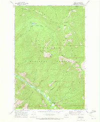
1968 · Brief
USGS Topo · 1:24,000

1968 · Winesap
USGS Topo · 1:24,000
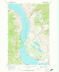
1968 · Manson
USGS Topo · 1:24,000