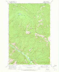
1968 Map of Brief
USGS Topo · Published 1972About this map
The Entiat River carves a deep valley through the heart of the Wenatchee National Forest, defining the settlement patterns of this remote Chelan County corridor during the late 1960s. The small community of Brief is established along the riverbanks, serving as a gateway to the high country of the Chelan Mountains and Tyee Ridge. The landscape is a network of pack trails and jeep tracks, connecting high-elevation water bodies like Upper Pawn Lake and Bear Lake within the Pawn Lake Basin.
Find a feature on this map
40 named features on this map. Tap any name to fly to it.
Don’t see what you’re looking for? This feature index may not catch every label — zoom into the map to look around manually.
Map Details
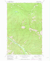
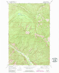
Editions of this 1968 Brief Map
3 editions found
Other maps of this area

1899 · Methow
USGS Topo · 1:125,000

1901 · Chelan
USGS Topo · 1:125,000

1901 · Methow
USGS Topo · 1:125,000

1901 · Chiwaukum
USGS Topo · 1:125,000

1902 · Stehekin
USGS Topo · 1:125,000

1904 · Stehekin
USGS Topo · 1:125,000

1904 · Chiwaukum
USGS Topo · 1:125,000

1944 · Lucerne
USGS Topo · 1:62,500

1949 · Lucerne
USGS Topo · 1:62,500

1955 · Concrete
USGS Topo · 1:250,000