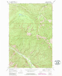
1968 Map of Brief
USGS Topo · Published 1987About this map
The Entiat River flows through a narrow corridor in the southeastern corner of this survey, serving as the primary drainage for the surrounding high-altitude wilderness. This 1968 study, later updated with 1983 aerial data, captures a remote section of the Wenatchee National Forest defined by prominent ridges like the Devils Backbone and Tyee Ridge. The small settlement of Brief is the focal point of the valley floor, situated near several river markers such as Mile 23.
Find a feature on this map
42 named features on this map. Tap any name to fly to it.
Don’t see what you’re looking for? This feature index may not catch every label — zoom into the map to look around manually.
Map Details
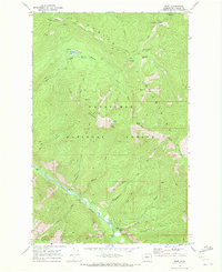
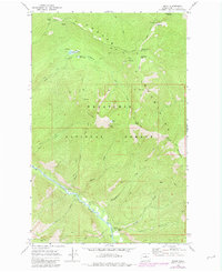
Editions of this 1968 Brief Map
3 editions found
Other maps of this area

1899 · Methow
USGS Topo · 1:125,000

1901 · Chelan
USGS Topo · 1:125,000

1901 · Methow
USGS Topo · 1:125,000

1901 · Chiwaukum
USGS Topo · 1:125,000

1902 · Stehekin
USGS Topo · 1:125,000

1904 · Stehekin
USGS Topo · 1:125,000

1904 · Chiwaukum
USGS Topo · 1:125,000

1944 · Lucerne
USGS Topo · 1:62,500

1949 · Lucerne
USGS Topo · 1:62,500

1955 · Concrete
USGS Topo · 1:250,000