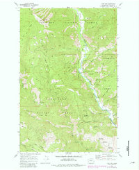
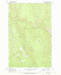
1968 Map of Tyee Mtn.
USGS Topo · Published 1981About this map
The Entiat River flows through the heart of the Wenatchee National Forest, carving a deep valley between high mountainous divides. This 1968 survey (photorevised in 1981) documents a landscape managed for both timber and recreation, anchored by the Tyee Mtn Lookout and the Entiat Valley Ski Area. A complex network of paths, including the Billy Ridge Trail and Hornet Ridge Trail, provides access to the high ground of Tyee Ridge and Billy Ridge.
Find a feature on this map
48 named features on this map. Tap any name to fly to it.
Don’t see what you’re looking for? This feature index may not catch every label — zoom into the map to look around manually.
Map Details
Editions of this 1968 Tyee Mtn. Map
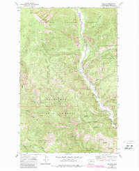
Other maps of this area

1901 · Chelan
USGS Topo · 1:125,000

1901 · Chiwaukum
USGS Topo · 1:125,000

1904 · Chiwaukum
USGS Topo · 1:125,000

1957 · Wenatchee
USGS Topo · 1:250,000

1964 · Leavenworth
USGS Topo · 1:62,500
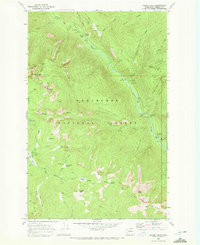
1968 · Silver Falls
USGS Topo · 1:24,000

1968 · Tyee Mtn.
USGS Topo · 1:24,000
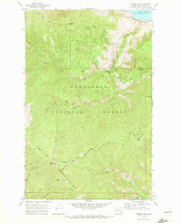
1968 · Stormy Mtn.
USGS Topo · 1:24,000

1968 · Ardenvoir
USGS Topo · 1:24,000
1968 · Sugarloaf Peak
USGS Topo · 1:24,000