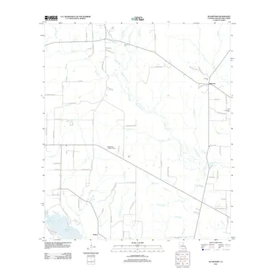
2012 Map of Sugartown
USGS Topo · Published 2012About this map
The community of Sugartown and the nearby settlement of Kipling anchor this 2012 survey of Beauregard Parish. The landscape is defined by the intricate hydrology of Whisky Chitto Cr and its numerous tributaries, including Bear Slough, Jumping Gully, and Black Jack Br. The map reveals a high concentration of burial grounds such as Sugartown Cem, Smyrna Cem, and New Campground Cem, which offer significant value for genealogists tracing local families like the Gills and Simmonses. A notable landmark, the Sugartown Lookout Tower, stands near the intersection of several local roads. The southern portion of the sheet is dominated by Bundick Lake and its associated spillways, including E Caney Br and W Caney Br, illustrating the water-management patterns of the region. Local names are preserved through a dense network of forest roads and loops, such as A B Cole Rd and Emory Landing Rd.
Find a feature on this map
91 named features on this map. Tap any name to fly to it.
Don’t see what you’re looking for? This feature index may not catch every label — zoom into the map to look around manually.
Map Details
Editions of this 2012 Sugartown Map
This is the sole edition of this map. No revisions or reprints were ever made.
Other maps of this area

1935 · Mittie
USGS Topo · 1:31,680

1947 · Ikes
USGS Topo · 1:31,680

1947 · Chasmore
USGS Topo · 1:31,680

1947 · Grant
USGS Topo · 1:31,680

1947 · Bundick
USGS Topo · 1:31,680

1947 · Sugartown
USGS Topo · 1:31,680

1947 · Bannister
USGS Topo · 1:31,680

1947 · Sugrue
USGS Topo · 1:31,680

1947 · Pitkin
USGS Topo · 1:31,680

1948 · Grant
USGS Topo · 1:24,000