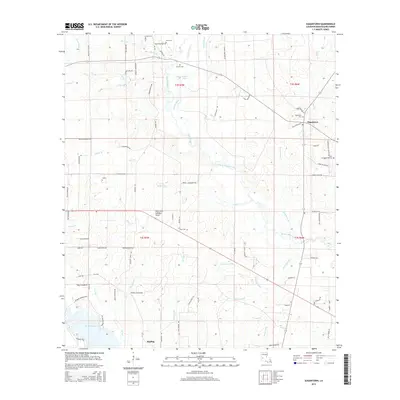
2015 Map of Sugartown
USGS Topo · Published 2015About this map
Whisky Chitto Creek winds through this portion of Beauregard Parish, shaping a landscape defined by an intricate network of tributaries and low-lying drainages. The settlement of Sugartown serves as a local focal point, surrounded by significant genealogical landmarks including the Sugartown Cem, Hoy Cem, and Smyrna Cem. A notable geographic feature is the Sugartown Lookout Tower, positioned to monitor the surrounding timberlands and creek bottoms.
Find a feature on this map
88 named features on this map. Tap any name to fly to it.
Don’t see what you’re looking for? This feature index may not catch every label — zoom into the map to look around manually.
Map Details
Editions of this 2015 Sugartown Map
This is the sole edition of this map. No revisions or reprints were ever made.
Other maps of this area

1935 · Mittie
USGS Topo · 1:31,680

1947 · Ikes
USGS Topo · 1:31,680

1947 · Chasmore
USGS Topo · 1:31,680

1947 · Grant
USGS Topo · 1:31,680

1947 · Bundick
USGS Topo · 1:31,680

1947 · Sugartown
USGS Topo · 1:31,680

1947 · Bannister
USGS Topo · 1:31,680

1947 · Sugrue
USGS Topo · 1:31,680

1947 · Pitkin
USGS Topo · 1:31,680

1948 · Grant
USGS Topo · 1:24,000