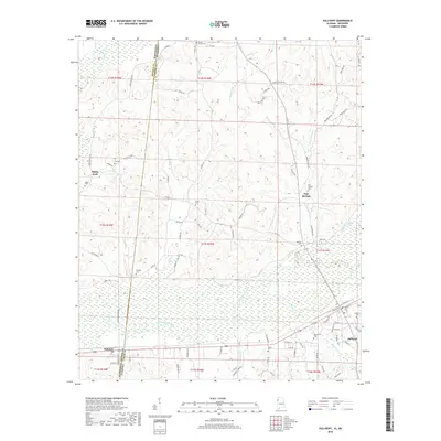
2018 Map of Sulligent
USGS Topo · Published 2018About this map
The Buttahatchee River meanders across this landscape, defining the transition from the hills of Lamar Co into the floodplains that stretch toward the state line. At the southeastern corner, the town of Sulligent serves as a local hub, while the smaller settlement of Gattman sits directly on the boundary with Monroe County, Mississippi. This area is heavily dotted with family and community burial grounds, including Sandlin Cem, Blaylock Cem, and Macedonia Cem, which offer significant value for genealogists tracing local lineage in this corner of Alabama.
Find a feature on this map
94 named features on this map. Tap any name to fly to it.
Don’t see what you’re looking for? This feature index may not catch every label — zoom into the map to look around manually.
Map Details
Editions of this 2018 Sulligent Map
This is the sole edition of this map. No revisions or reprints were ever made.
Other maps of this area

1953 · West Point
USGS Topo · 1:250,000

1956 · Tupelo
USGS Topo · 1:250,000

1958 · Tupelo
USGS Topo · 1:250,000

1958 · West Point
USGS Topo · 1:250,000

1963 · West Point
USGS Topo · 1:250,000

1966 · Turon
USGS Topo · 1:24,000

1966 · Greenwood Springs
USGS Topo · 1:24,000

1966 · Amory SE
USGS Topo · 1:24,000

1967 · Sulligent
USGS Topo · 1:24,000

1967 · Beaverton
USGS Topo · 1:24,000