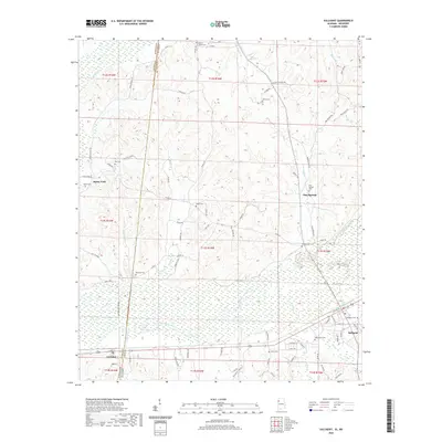
2020 Map of Sulligent
USGS Topo · Published 2020About this map
Sulligent and the surrounding borderlands of Lamar Co occupy the eastern portion of this survey, where the Buttahatchee River meanders through wide bottomlands. This 2020 landscape reveals a complex network of rural infrastructure, from the industrial Echoes of Dinky Line Rd to the quiet crossings at Gattman near the Mississippi-Alabama state line. The topography is defined by numerous creek systems, including Turkey Cr and Indian Cr, which feed the river basin.
Find a feature on this map
94 named features on this map. Tap any name to fly to it.
Don’t see what you’re looking for? This feature index may not catch every label — zoom into the map to look around manually.
Map Details
Editions of this 2020 Sulligent Map
This is the sole edition of this map. No revisions or reprints were ever made.
Other maps of this area

1953 · West Point
USGS Topo · 1:250,000

1956 · Tupelo
USGS Topo · 1:250,000

1958 · Tupelo
USGS Topo · 1:250,000

1958 · West Point
USGS Topo · 1:250,000

1963 · West Point
USGS Topo · 1:250,000

1966 · Turon
USGS Topo · 1:24,000

1966 · Greenwood Springs
USGS Topo · 1:24,000

1966 · Amory SE
USGS Topo · 1:24,000

1967 · Sulligent
USGS Topo · 1:24,000

1967 · Beaverton
USGS Topo · 1:24,000